
38°02'45.5"N 81°04'05.9"W
38.045977, -81.068291
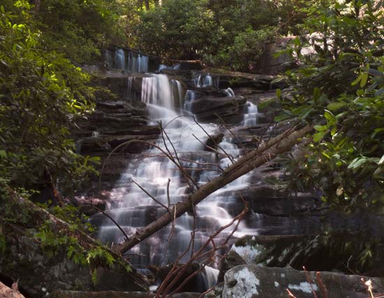
From U.S. Route 19, follow State Route 16 south through the town of Fayetteville. Take a left on Gatewood Road (park signs indicate Kaymoor and Cunard). Follow Gatewood Road 2.0 miles and turn left at the Kaymoor sign (Kaymoor No. 1 Road). Follow this road about one mile to the intersection; turn left. Parking is 50 yards on the right. This trail starts at the end of the parking area. The Butcher Branch trail connects to the Long Point trail, but you will need to take the side trail marked as the "Climbing Access" to go down in front of the falls. It's kind of steep with some switchbacks but it's totally doable. If you get to the creek and hear the falls from the top, you need to go back up the trail to find the climber's access, which goes down and along the cliff line to the falls.