(37.943724, -81.091343)
Follow direction to Dunloup Falls. Continue on Thurmond Rd for a short distance and you will see a parking area on your left. This is the trailhed for the Rend Trail which ends at the top of Arbuckle Creek. Turn around here and head back.
The trail access for Meadow Fork is at a bridge just before the parking area for the Rend trail. You will see that several holes have been dug/excavated to keep the 4 wheeler crowd off the trail, but there is a trail there. There is also a signpost that says "No Motor Vehicles". It's one of those small plastic government things, about three inches wide and brown. Not easily seen. GPS is accurate.
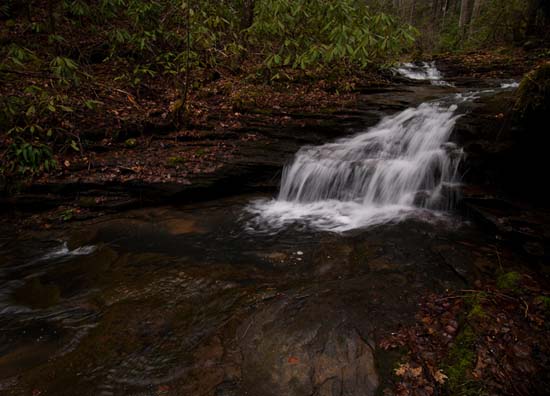
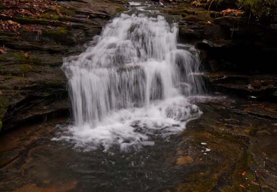
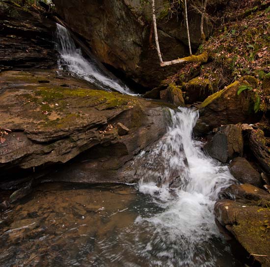
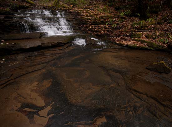
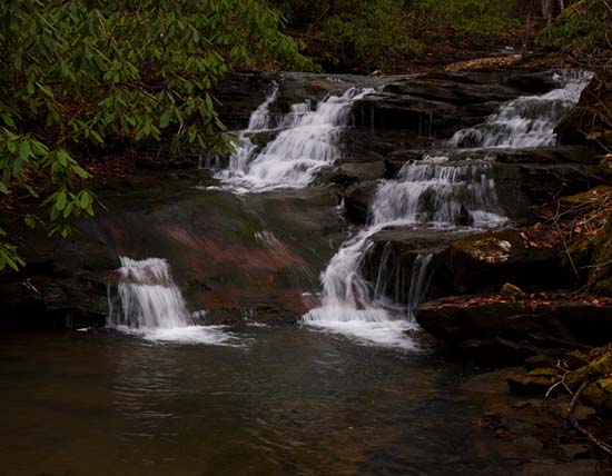
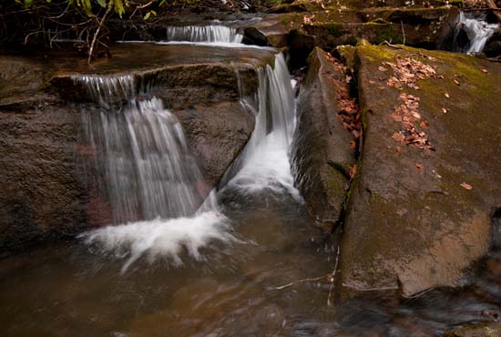
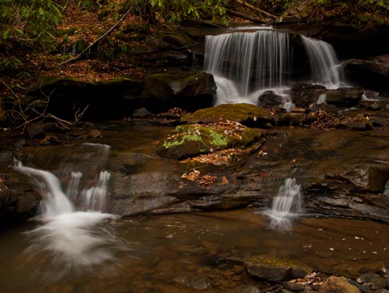
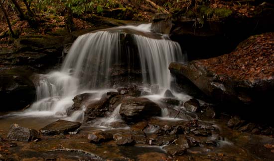
Just hike uphill over those mounds and around the holes and up the creek. You will continue to find holes dug into the trail as you go uphill. You will see the falls as they are all right beside the trail. The challenge is getting into the creek to photograph. Lots of shots on this creek. Just be aware that there is a lot of garbage under the leaves and natural debris, such as broken glass (a lot of it in places) so wear boots.
