39°23'20.0"N 80°05'14.7"W
39.388900, -80.087408
Valley Falls State Park is located north of Grafton, W.V. From US 50, follow SR 310 north and watch for the signs to Valley Falls State Park. This is a very nice and clean park and there is lots to shoot in the area. Long river shots as well as many wide angle and isolation shots of the falls. This falls is river wide and several tiers. There are some nice isolation shots to be had here.
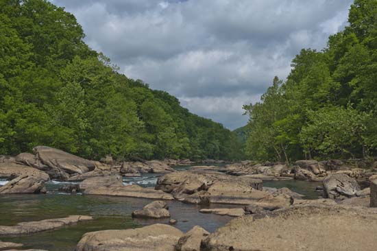
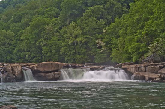
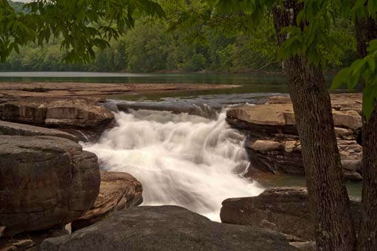
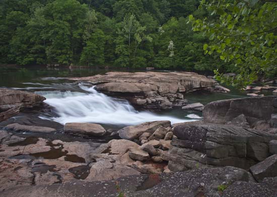
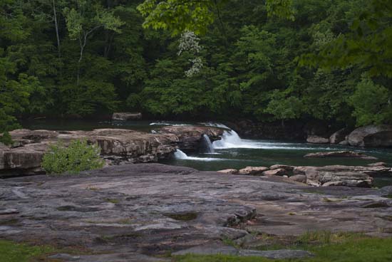
There are three to four other falls that empty into the river along the Rhododendron Trail down stream and some beyond the park boundaries.
27' Falls on Glady Creek (39.40058, -80.07981)
Follow the Rhododendron Trail. At the first fork, bear right. At the second fork, bear right, staying on the trail. At this point you will find the Glady Creek down the hill to your left. Follow the trail, keeping the creek on your left. At about 1.5-1.7 miles from the parking lot, you will see an area of thinner woods where others have left the trail to head down to the creek. There is no real trail, but it's rather definite that people have gone down. You may hear the falls at this point if the water is running. The GPS above should be pretty accurate.
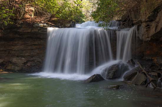
Twin Falls (39.40148, -80.09584)
Follow the Rhododendron Trail until it tends to go uphill and away from the river. At this point you will be right near Glady Creek and you can approach from here. Look for a way down toward the tracks and continue downstream along the river and you will be able to approach Twin Falls from the other side of Glady Creek. Both sides are nice, but you may want to get in the creek so bring your boots or get wet.
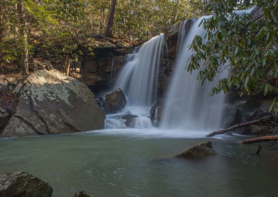
Burnt Cabin Run (39.403384, -80.097085)
Only a VERY short distance further downstream along the tracks from Glady Creek is Burnt Cabin Run. The Falls is hiding in behind some Rhododendruns in a small grotto, but very close to the tracks. Approach is obvious and easy. There is another fall (slide) further upstream from here, which is accessible, but you will probably have to get your feet wet to see it.
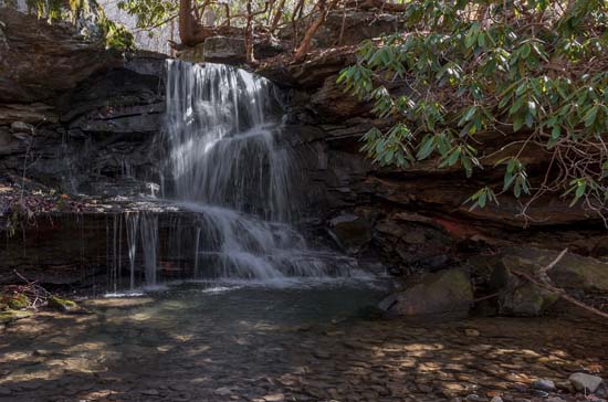
Upper Falls (39.403725, -80.095970)
Lower Falls (39.403384, -80.097085)
Raven Rock Falls is a less than substantial spill over a unique rock formation. Take the Rhododendron Trail from the lower parking lot at Valley Falls SP. It will take you to Glady Creek and the first stone trestle. The next trestle is Burn Cabin Run. The third is Nuzum Run and the old road to Hammond. After that, follow the tracks and you'll pass a sliver RR building and the tracks go to two sets. Raven Rock will be up a steep hill to your right.

