38°37'53.5"N 79°52'49.8"W

38.631514, -79.880501

From US 219 near Huttonsville, turn south on US 250/WV 92 and follow for 11.2 miles and bear left onto Shavers Fork Rd. (CR 209).  Follow Shavers Fork Rd. for about 0.3 miles to where it crosses Red Run.  Just the other side of the bridge is a parking area and a picnic table.  Falls is right at the bridge.
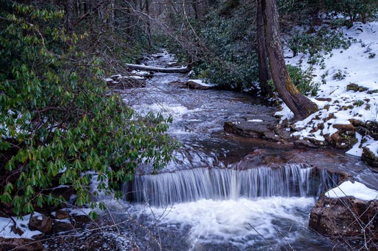
Red Run

Site Search

Submit Falls

If you know a waterfall
not reviewed here you
may submit it here.
Please try to include
GPS Coordinates.

Click to fill out form.

Waterfall Trail

West Virginia Waterfalls
Trail p
resented by Dept
of Tourism.
Completing
trail makes you
eligible
for prizes. (MORE INFO)

Weather

WVNS_Map.png

Copyright

Copyright 2010-2023
Nature Trek Publishing, LLC

5979 Wind St.
Cincinnati, Ohio 45227
513-555-1212