(39.4092, -80.10268)
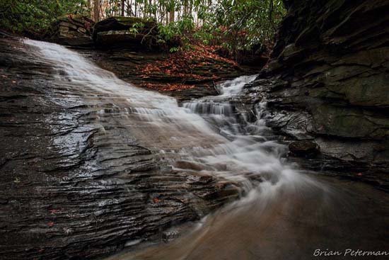
I'd heard of and seen photo's of Nuzum Run, so I talked to my friend Brian Peterman, who is from the area and hikes it extensively. This is his description. “Nuzum Run has an interesting double waterfall where the two branches of Nuzum Run come together. The falls are right off the old County Road to Hammond, right after you cross one of the branches that runs across the road and before the trestle.

The road is officially closed and you'll see a sign on the way in telling you that. The gate was locked at one time but it's been open for years now. People go down to Hammond to camp, fish, and swim. The road is very rough and you'll need a high clearance 4wd to go all the way to Hammond. There is a place to park before you get to the really bad part. The property is the old Tygart Valley Mine property. They went out of business in 1999 and the property is open so far. There is a lot of ATV action there. N39 24.552, W080 06.161.” Information and photo courtesy of Brian Peterman.
Take Exit 137 from I-79 near Fairmont and drive south, away from town on SR 310 for 5.1 miles. Turn right on Hammond Rd and drive for about 1.5 miles and park.

