38.12395, -81.22441
38°07'26.2"N 81°13'27.9"W
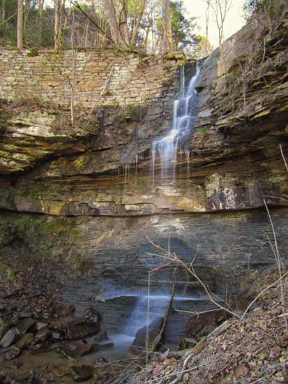
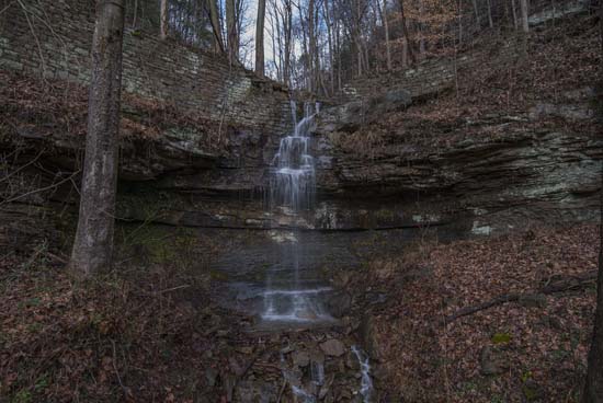
US 60 (Midland Trail) roadside @ 38.123955, -81.224411 on unknown creek at Charleton Heights. On your left heading east just outside of Charlton Heights at the bend of the river. There is a roadside pull off right at the falls.
This is a wet weather falls, as are all the falls along US 60 coming into Glen Ferris. This includes the ones across the river on Boonesboro Rd. as well, but they do seem to run most of the time, albiet lower water still flowing.


