37.776287, -81.032106
37°46'34.6"N 81°01'55.6"W
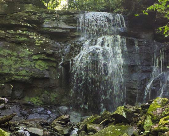
Kates Falls is located off of Glade Creek. It can be accessed from the Glade Creek Trail from two directions. You can take the long way, about 4.5 miles one way. Follow the directions to the Glade Creek Trailhead and follow the trail up stream. The short way is a little over a mile but may not be for you, as it is more difficult.
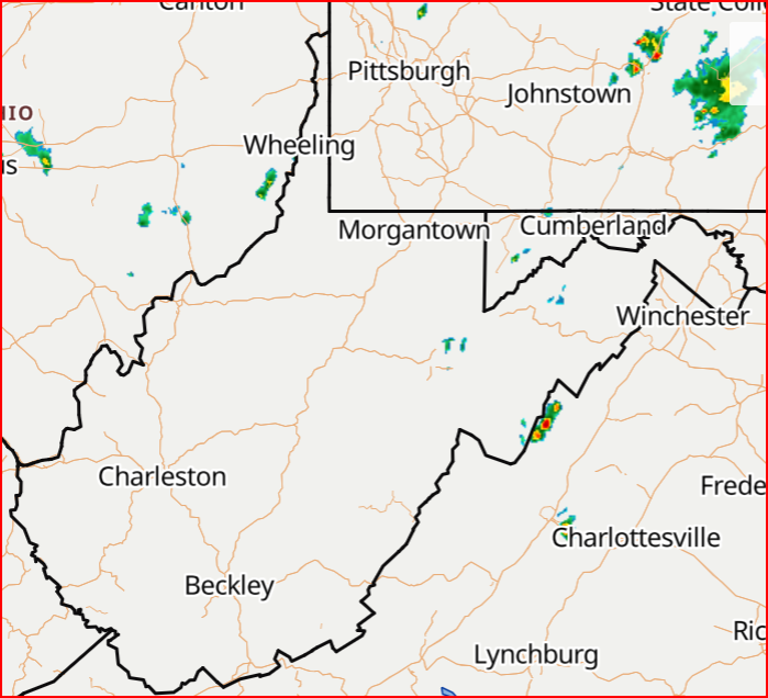
From US19 (Eisenhower Drive) in Beckley, take WV 41 (Stanaford Rd) north toward Prince. Bear right onto Glade Creek Road, just before the bridge at Prince. Follow the gravel road seven miles where it ends at the Glade Creek trailhead.
To get to the Upper Trailhead: *A high clearance four wheel drive vehicle is recommended for this road; be prepared for steep terrain, tight switchback curves, and muddy conditions.
Take Grandview exit 129 off I-64. Turn south on WV 9. Travel 0.5 mile toward Little Beaver State Park (junction with WV Route 307 in 0.3 mile). Turn left onto unmarked gravel road CR 22 (just before Fire Tower Road). Follow this road down to Glade Creek (about one mile). Cross the bridge for trailhead parking. Follow trail for 1.1 miles to Kates Branch confluence with Glade Creek. *U.S.F.S. website


