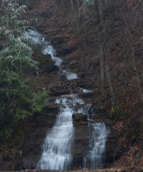
I am unable to determine if there is a name to the creek this first one is on or if it is just a wet weather runoff spot, but it was pretty nice. It might be called Blazed Fork. Unfortunately, it was snowing very hard when I was there and this picture does not do justice.

There are significant falls up Leatherwood Creek's left fork. Continue up road from this location to see them.
From Webster Springs, drive 4.1 miles to a quick right veer onto CR 26 (Bergoo Rd.). Follow Bergoo Rd. for 6.1 miles and turn right on Leatherwood Creek Rd. (Pub Rd. 26/4) at the Leatherwood Store (May not be there anymore. Saw a for sale sign there in 2/23). At 3.1 miles both branches of the Leatherwood Creek come together and there is a wide open area for you to park. The last quarter of a mile, the road deteriorates quite a bit from all the 4 wheelers up there. You’ll know you’re in the right place tho bc the road turns sharply to the left. Its a pretty big wide spot so just pull off and park here. You’ll see it better in person but on a map you can distinguish it by where the left fork of Leatherwood and the right fork of Leatherwood meet. You’re going to want to take the right fork to get to these falls. I recommend a pair of muck boots or something waterproof bc the water level that is necessary for good flow on these falls leave little room to rock hop across the creek and you have to cross the creek a couple of times to get there. You’ll see an old logging road that crosses the creek and an old hunting shanty next to it. It can appear like thats the route to take but in reality, its easier to cross the creek to the left and find the logging road that bisects the two creeks. Once you’re on this, its just a matter of hiking up the road to the falls. That being said, there is one creek crossing you have to make that can be a little sketchy depending on flow, so again, muck boots and a camera bag are really handy. Even a walking stick would help with balance. There are some pretty falls directly below this crossing as well. And truthfully, the whole creek drainage is beautiful. Hard to take bad image anywhere along it. But if you continue hiking, you’ll eventually reach the falls. It’s roughly 2 miles one way from the parking area to the falls, all of it uphill going in and all of it downhill coming back. And FYI….Side by sides and 4 wheelers are common up there. There’s a pretty large outlaw loop that people do up that way and they like to stop at the falls when they pass thru there. Thanks to Jared Musgrave for these directions.

There are also falls up the left fork.
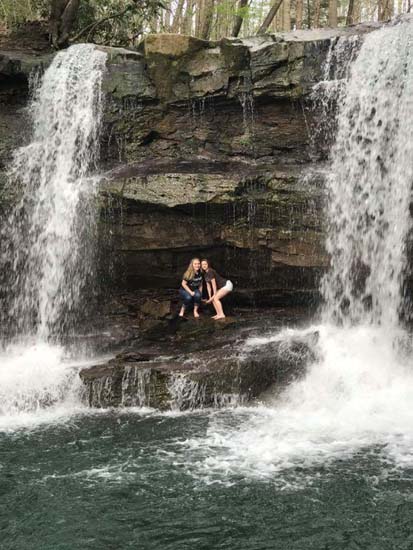
Here's a shot from a Facebook friend who lives in Bergoo. With her permission, I use this photo of Leatherwood Falls in my book.
1-1-2023 - "UPDATE" As of this date I have been warned that this is now private property and they -- the Red Oak Hunt Club -- don't want anyone up there. Too bad, but I guess if they're shooting guns up there, it's probably safer to skip.


