38.041490, -81.067930
38°02'29.4"N 81°04'04.6"W
From US 19, follow WV 16 south through Fayetteville. Take a left on Gatewood Road (park signs indicates Kaymoor and Cunard). Follow Gatewood Road 2.0 miles, and turn left at the Kaymoor sign (Kaymoor No. 1 Road). Follow this road about one mile to the “T” intersection; turn left. Trailhead parking is less than 0.25 miles on the right.
Get on the Kaymoor Miner's Trail. This trail will take you down to the Kaymoor Mine site. There are two ways to visit this creek.
- As you go down, you will encounter a set of wood stairs. At the bottom of these stairs is where you climb up the cliff wall and begin. You will have to navigate the base of the cliffs all the way to the creek. This is not the easiest, but there is one thing to remember - stay along the base of the cliff all the way!. There will be temptation to take an easier route by going down, but don't. There is one place I remember that we did go down to get around a house size bolder, but then we went straight back up. Another spot may seem like a dead end, but you weill see where others have taken the 10' plunge over the side with the aid of the rhododendren, and continued on along the cliffs. You will wonder if this is the right way sometimes, but just stay along the cliffs and all will be fine.
- The second and easier route is to continue down the Kaymoor Miner's Trail untill you get to the bottom of a second set of wood stairs and a wide flat area. To your left is the mine, to the right is an access/service road. Ahead is another very long set of stairs that will take you to the river level. Take the service road to the right and walk about .5 mile to the creek crossing. From here, start uphill on the right. There is no real trail and there are many dangerous places with lots of loose rocks and rotten ground cover, where you can slip and fall or get stuck down inbetween some rocks. "BRING A WALKING STICK" and test the places you intend to put your feet.
The entire trek along the creek, whether you go uphill or down hill, will require some diligence regarding where you put your feet. I highly recommend a walking stick or hiking pole. That applies for the cliff route as well.
Either way you go to this creek, the hike is not easy.
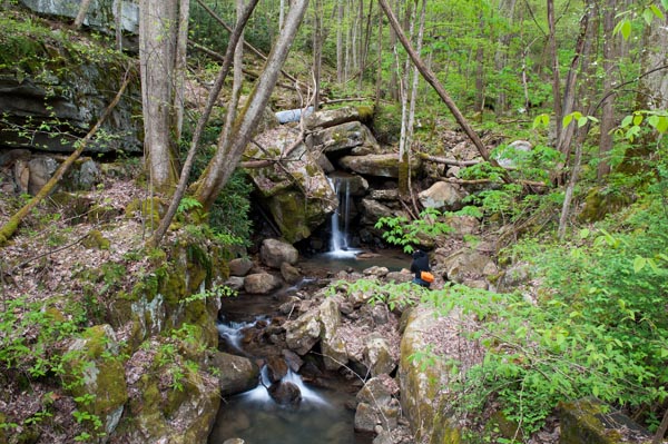
I saw five falls along this creek, but there are more. Waterfalls along this creek are pictured below, in order from top to bottom, and include the big guy at the top where the creek spills over the cliff. Unfortunately, not much water on this trip, but this is magnificent when the water is flowing right, and that goes for the rest of the falls on this run, as you could well imagine.
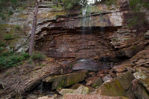
Leaving the top falls, you should cross the creek and go down stream a short distance. There's a hug log that lays across the creek. Cross back over the creek here and begin to navigate downstream with the creek on your right. Try to stay close, but you will have to stray wide of the creek in some places. Don't be deceived by any parts that may look easy. They may look smooth and easy, but don't make that mistake and fall and hurt yourself. Use you stick.
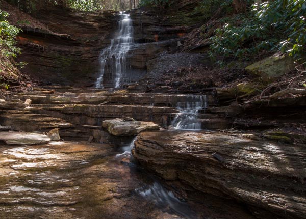
About half way down, still with the creek on your right, you will hear a fall. The access is around a big rock and crawling down under some rhododendrons into the creek.
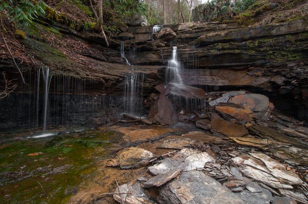
The next one is not much further down and much easier to access. Leaving here, walk down with the creek on your right untill you come to the service road. At this point, there is another waterfall upstream from the road and you willl probably have seen it, but when I saw it, it was covered up with fallen timber.
There is another downstream from the road, but I haven't seen it. You can hear it, but getting dow is not clear and it's getting dark.
Wallk the road back to Kaymoor Miner's trail and start your ascent. Or you can take the over 850 steps down to river level, hike out (east-upstream) along the coke oven city to the confluence of Craig Branch with New River. Not sure it was worth the effort and my buddy, Jim, (pictured below for perspective) tried to bushwhack up the hill and returned with nothing good to say.
