38.13763, -81.21634
38°08'15.5"N 81°12'58.8"W
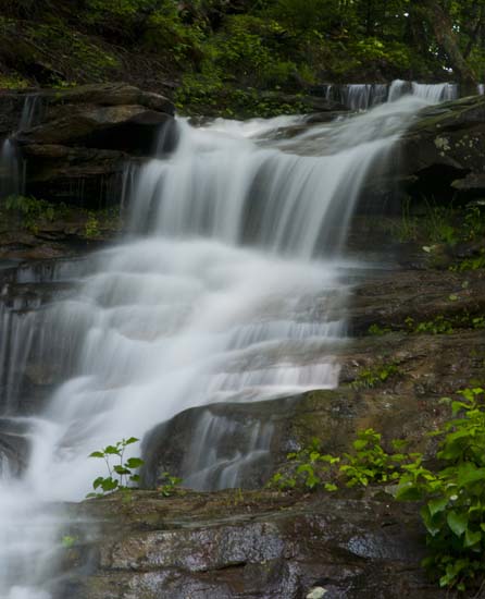
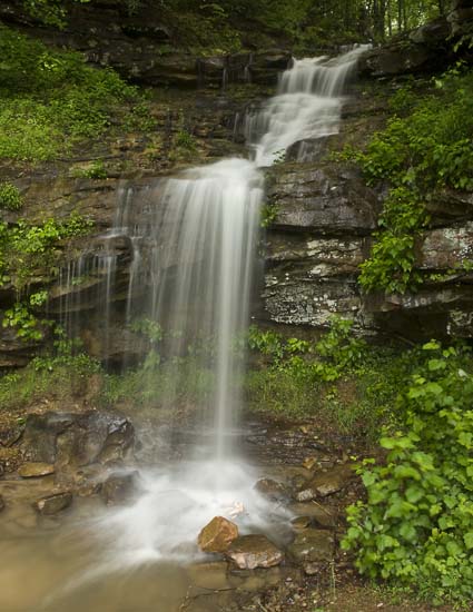
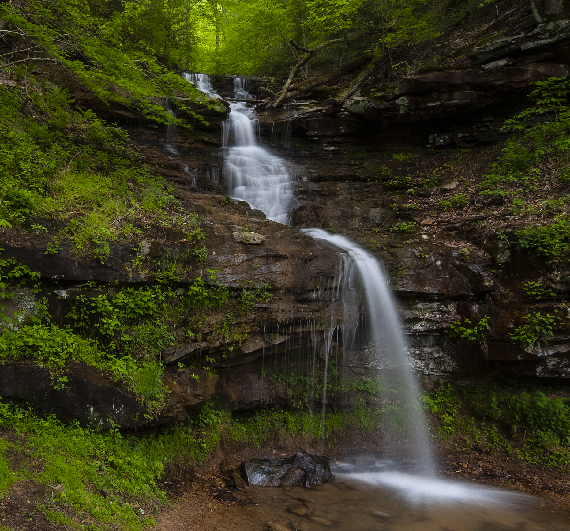
I didn't know what to call this falls. I can't find a creek name and it's close to where the gaging station is for Kanawha River. A number of names have been suggested, but none really fit. However, it is between two other falls on the way into Glen Ferris, so, for the time being it will be called InBetween Falls. Side of the road. East of Charleton Heights on US 60. Obvious pull off with plenty of room to park.
