38°07'24.0"N 81°07'41.2"W
38.123320, -81.128100
Hawk's Nest Overlook,
Picnic Shelter, and Gift Shop
49 Co Rte 60/23
Ansted, WV 25812
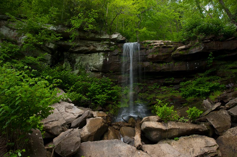
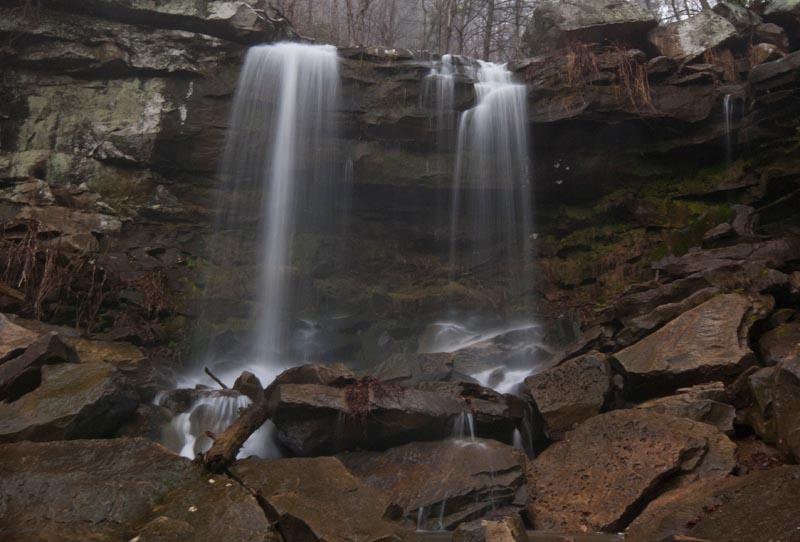
Park in the parking lot across from the gift shop and then walk down the Cliffside Trail at the low end of the parking lot. Eventually, the trail turns left and goes down hill along Turkey Creek. There are two nice waterfalls on this part of the creek, as well as some smaller interest, and then the lower falls, which is accessible from river level by taking the Fishermans Access Trail along the river down to the dam.
This is a very slippery creek to walk in. There is a slim on the rocks that is about as dangerous as it gets. The slip factor is major - a "10" in that department, however, this is a very pretty creek and worth some effort. Just be advised that it can be rather treacherous from a number of different aspects.
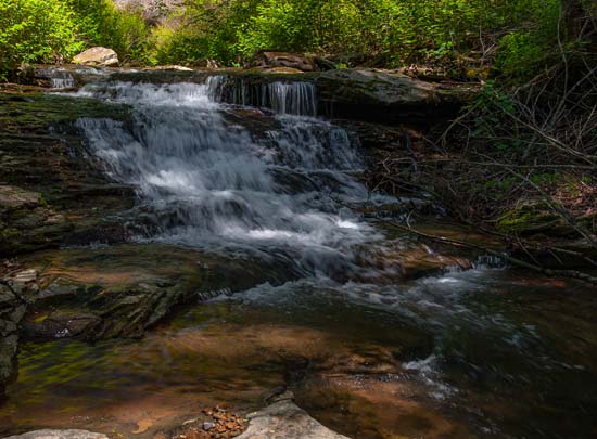
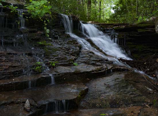
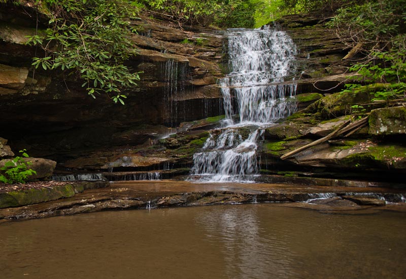
There is another big waterfall down below this and before the images below. It is, however, not immediately obvious and is also very difficult to get to. There is no obvious access to this falls and is probably extremely dangerous to get to. I have observed this falls through the spring growth and can see no easy way into the creek here. This might require a rope, and is what I will bring next time I go.
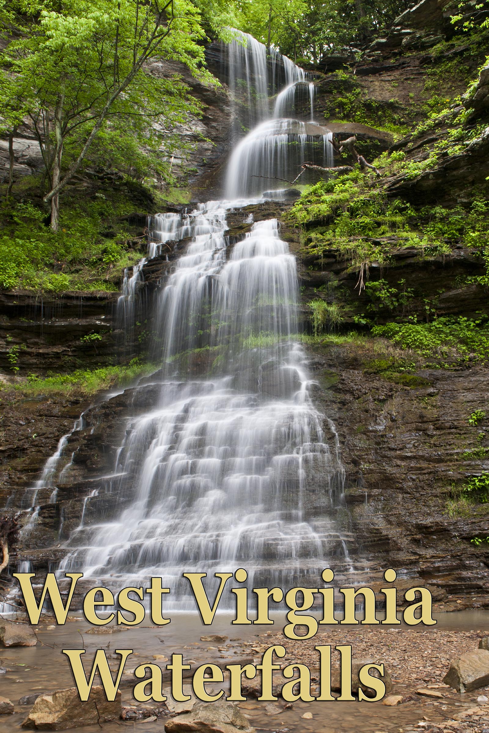
Lower Turkey Creek Falls
38.121639, -81.130042
From the bottom of the rail trail continue down river through the parking areas and park close to the gated trail at the end. Walk along the trail toward the dam for less than 0.5 mile on this flat easy trail. Falls is at the end of the trail.