38.1341, -81.1485
38°08'03.1"N 81°08'55.7"W
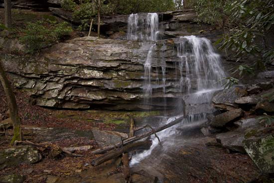
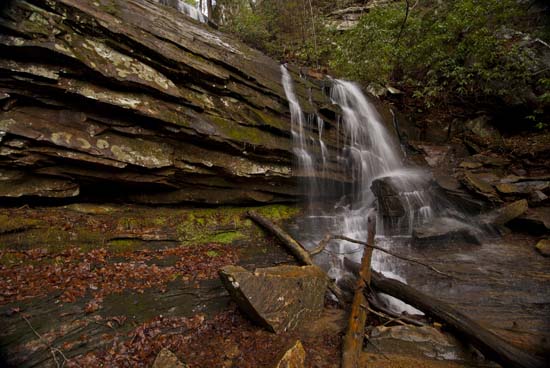
Alongside the road on SR 16 east of Gauley Bridge just after Chimney Corner. Park west of the Eugene Mitchell Skaggs Memorial Bridge and walk east about 50 yards on the westbound side of the road. Cut between the guardrail and the hill and go into the woods. I went up the left side and came down on the right. It's a bit of climbing. Not bad. It's best to approach from the east on SR 16, but if you're like me, you'll miss it and have to turn around. One tip is that just before the bridge is a gated road off to your right, so slow down there and start looking for a small pull off area on the right before you go over the bridge.


