38.831939, -79.417056
38°49'55.0"N 79°25'01.4"W
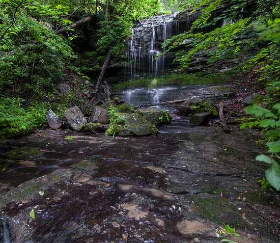
From the intersection of US 33 and SR 28 at Seneca Rocks, go west on US 33 for 2.2 miles and turn left on Brushy Run Rd. Brushy Run Rd. is approximately 5 miles long. Falls is roadside about .75 miles on your left (GPS approximate: 38.831939, -79.417056). The waterfall is there all year but it runs best after good rain storm. When it rains it flows from the top clear down to the bottom (bottom is what we took pics of). It comes from a cave. We walked to the top one day and it was a dangerous walk. We fell in holes up to our waist. Its probably 300 ft up the mountain. Photo by Samatha Renee Turner
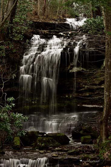
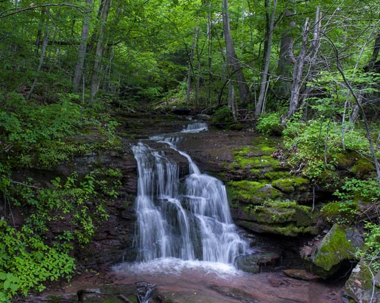
I took these two below in June 2022. As you can see the bigger fall is much more glorious with more water on it.
So, these falls are both roadside. The first and largest is nearer the bottom of the hill with the second way up toward the end of the road, but very roadside. I think they're both nice but I seem to favor the smaller one. Nice people we met on this road while looking for these falls. Very hospitable.