39°37'18.1"N 79°47'14.1"W
39.621690, -79.787240
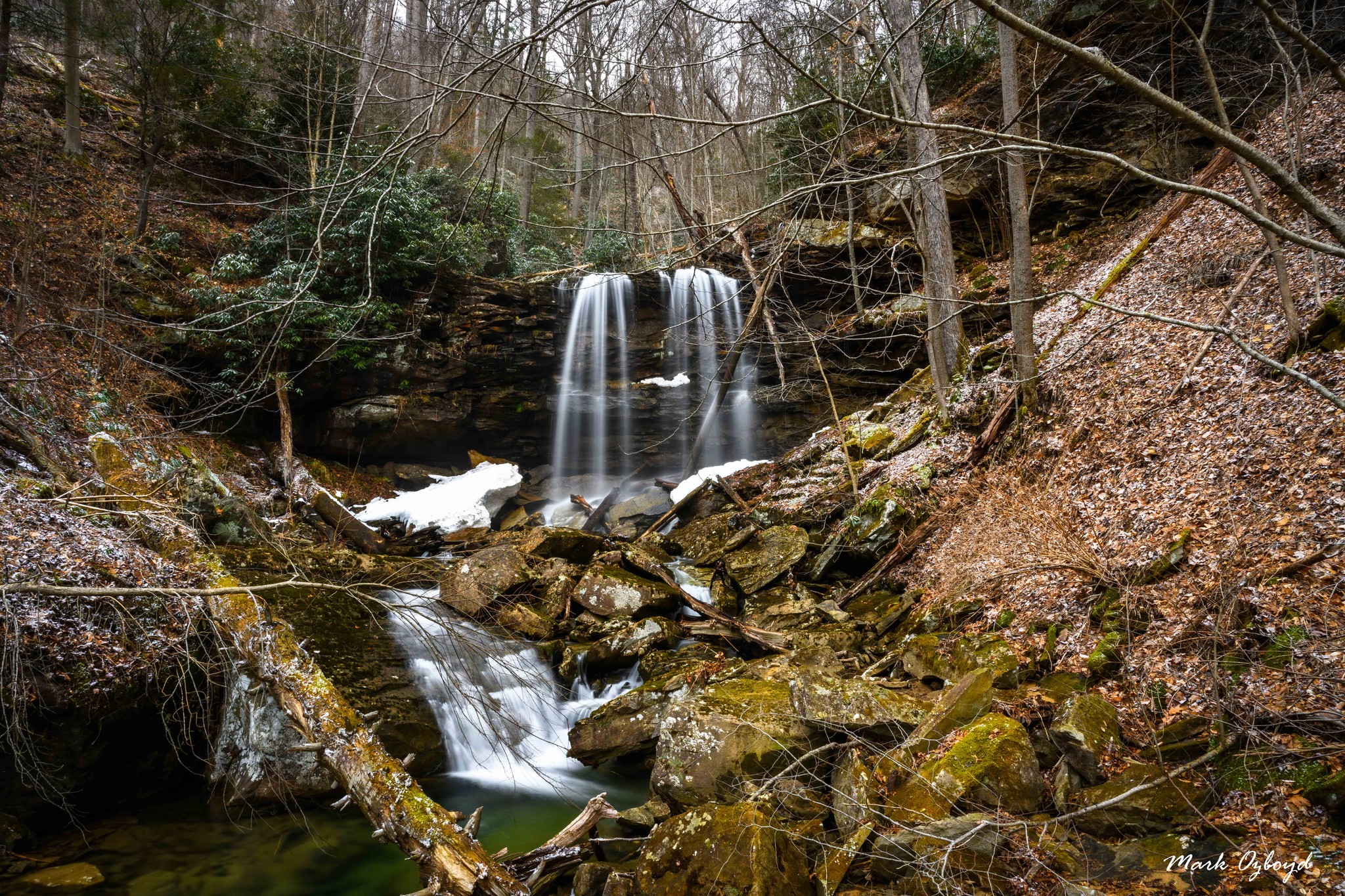
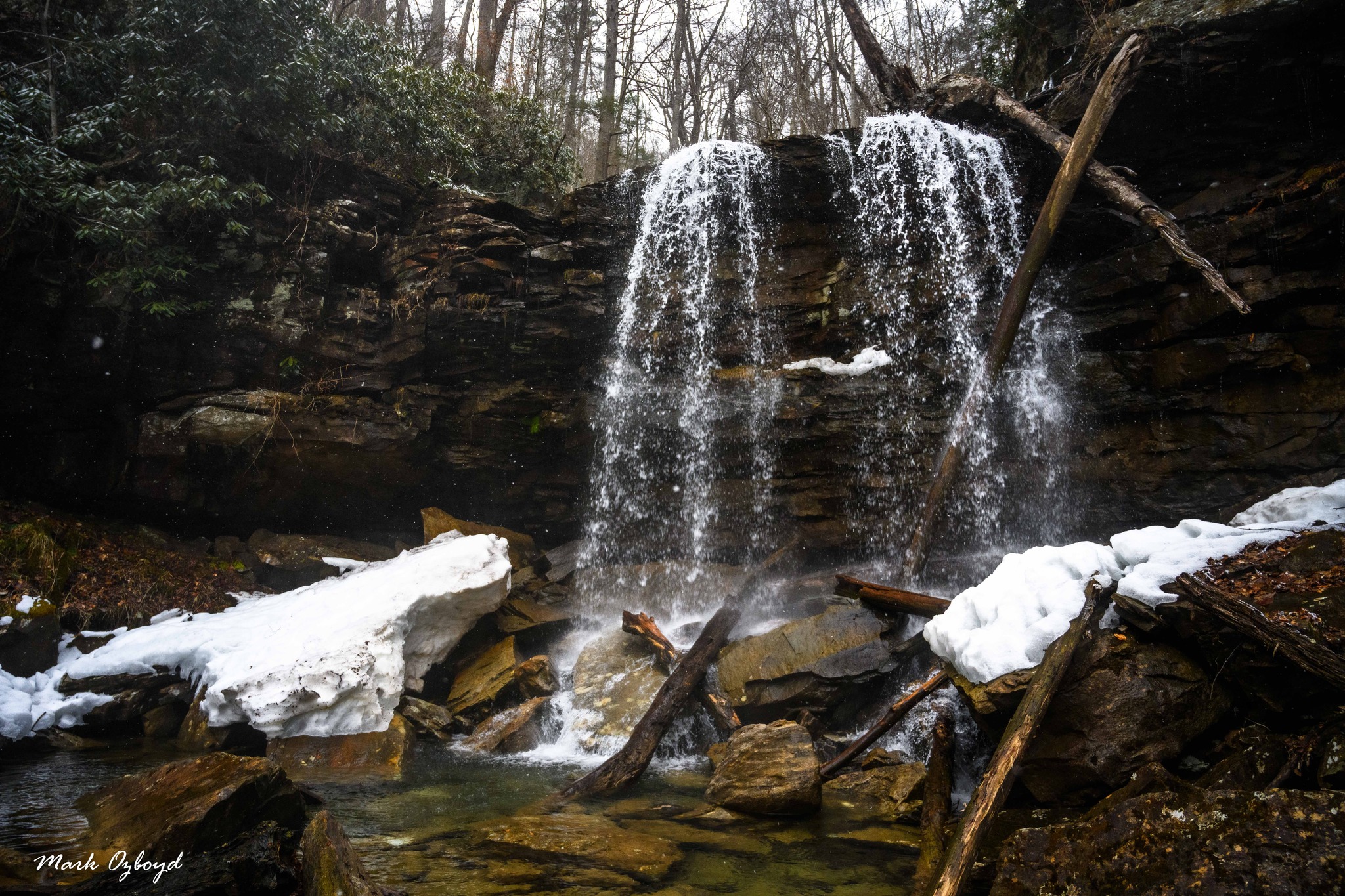
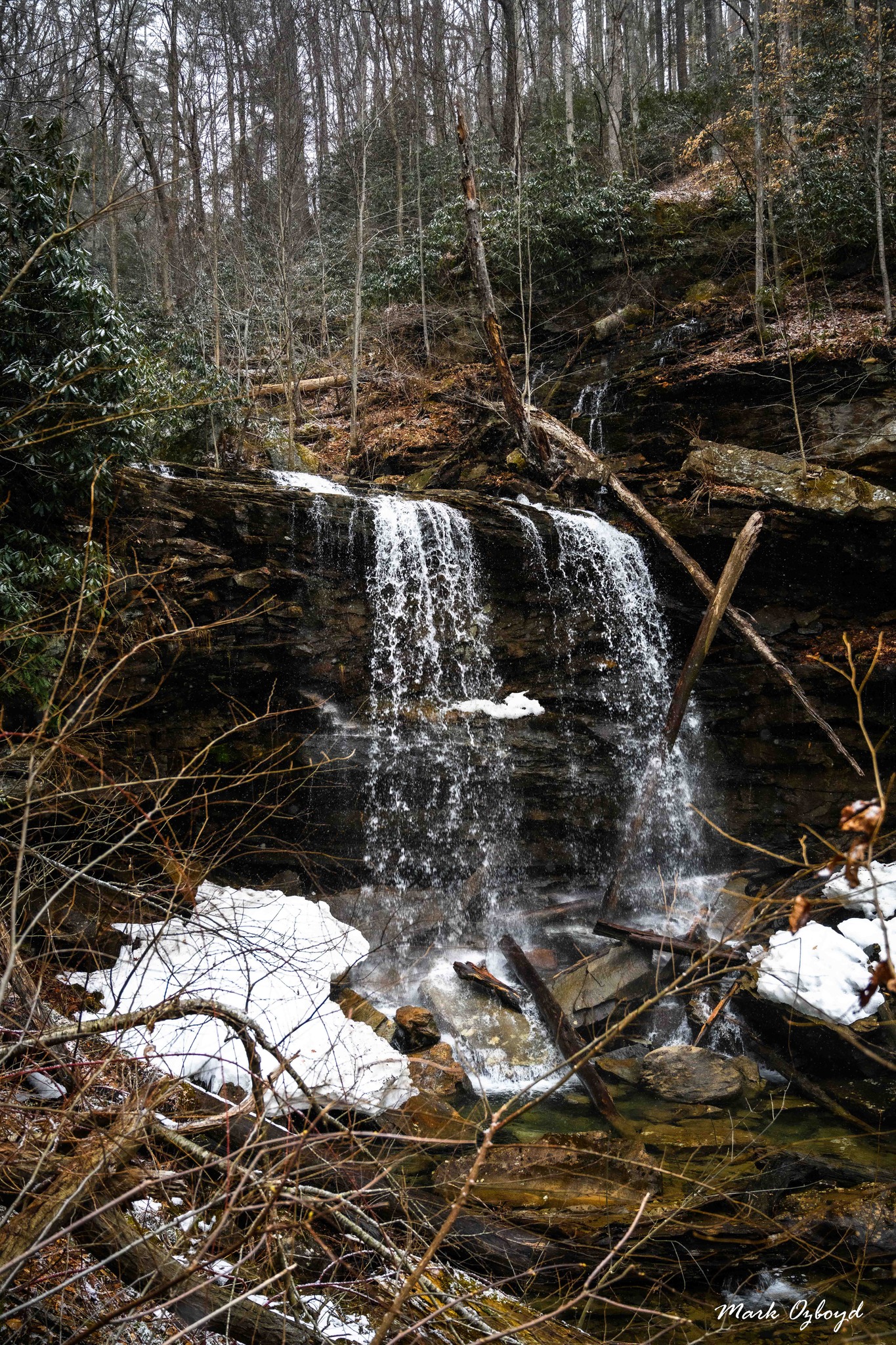
Info and images courtesy of Mark Oleg Ozboyd- (Author of Waterfalls of Georgia).
To reach this waterfall, drive or walk Beaver Hollow Road using the directions to Big Run Falls. From the curve with the "trailhead" for Big Run Falls, follow the main road for another 1.0 mile to a split with a switchback to the left. Go straight on a slightly narrower road. In another 0.3 mile, reach an extremely rocky crossing of Christopher Run, which is impassable to all but the most extreme off road vehicles. After the crossing, go another 0.4 mile to the end of the road by the Cheat River and Scott Run. You will see a campsite here. Rock hop Scott Run and then turn right on an old roadbed heading upstream with signs of hiking traffic. In 0.15 mile, cross Scott Run again and keep following the old logging road upstream, crossing some fallen trees. The roadbed crosses Scott Run the third and last time about 0.3 mile from the river; it peters out in the woods in another 0.1 mile. The waterfall lies 0.1 mile beyond the end of the roadbed. I suggest staying directly along the creek for this last leg of the hike. You'll have to do some bushwhacking and tricky rock scrambling, perhaps with wet feet.
From Big Run Falls trailhead to Scott Run Falls, total distance is about 2.2 miles each way.