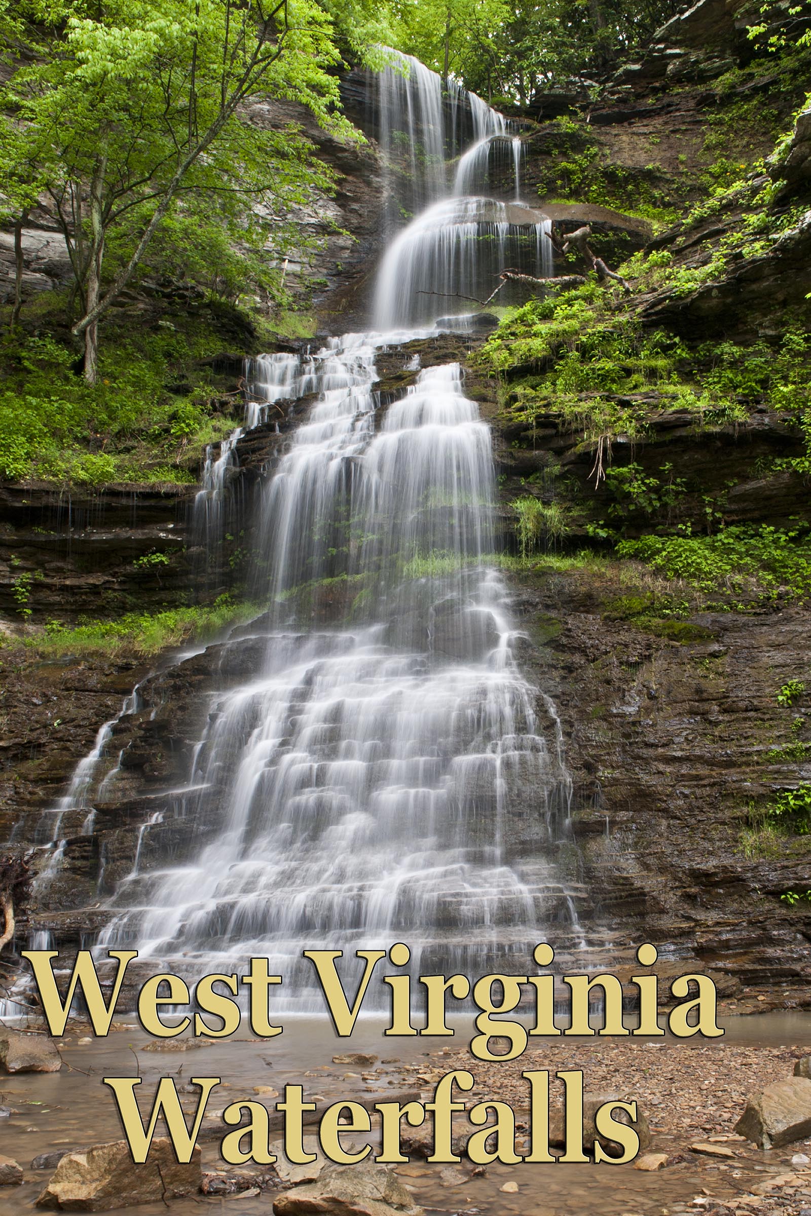
- West Virginia Waterfalls
- West Virginia Waterfalls Group
- North Carolina Waterfalls
- North Carolina Waterfalls Group
- Tennessee Landforms Site
- Waterfalls of Tennessee Group
- Waterfalls of Georgia Website
- Ohio Waterfalls
- Kentucky Waterfalls
- Waterfall Junkies
- Virginia
- Kentucky Waterfalls, Arches and Landscapes
- Waterfalls of the Northeastern United States
- World Waterfall Database