"Nestled in the heart of whitewater rafting country, Hawks Nest State Park encompasses 276 acres bordering a rugged section of the New River Gorge National River and known for the panoramic views. The New River was designated an American Heritage River on July 30, 1998. There are currently fourteen American Heritage Rivers in the country.
The name of this area comes from the numerous osprey (some call them, “fish hawks”) that once nested on the cliffs. Today, many hawks, turkey vultures,, black vultures and the occasional bald and golden eagles are seen soaring above the canyon. Additionally, peregrine falcons study within New River Gorge National River has been part of a restoration program for the species.
Below the 31-room lodge, built in 1967, the New River forms peaceful Hawks Nest Lake. Above the lake, the narrow canyon and rushing water create one of the most challenging whitewater boating waterways in the nation.
Hawks Nest State Park has welcomed visitors since the mid-1930s."1
Hawk's Nest State Park and the Mill Creek Rail Trail.
I have visited this place many times and always look for new aspects of interest here, as it is quite a wonderful and beautiful place. It never disappoints.
Hawks Nest Road and the Rail Trail, follow the Mill Creek, one on either side of the creek, down to the New River, from Ansted, just above the Hawk's Nest Dam. This is a public river access point, so expect to encounter pick ups pulling boats in and out on this narrow gravel road. Parking is available at the top of the rail trail and there is a rather large area at the bottom on the river.
The 1.8-mile Hawks Nest Rail Trail follows the path of a former Chesapeake & Ohio Railroad branch. It passes by several waterfalls along Mill Creek and an abandoned coal mine. The rail trail is a remnant of early mining operations. The Mill Creek mine at Fox Branch was in operation from 1921-1950 and it's entrance is visible from the road and as well as the trail.
Most people will come here just to see the main waterfall or to walk the rail trail. Of course, you can't go wrong just visiting those places, but there's a whole lot more here. Hawk's Nest Lodge is above on the hill and offers tram access up and down. There is also a really great overlook which offers a nice view of the New River. Here's a link to the state park website. This place would be a great hub for waterfalling in Fayette/Nicholas County. There are also a number of other nice trails in the area. The Cliffside Trail runs parallel to Turkey Creek which has several falls as well.
To access this area, follow US 60 from Gauley Bridge on the the west approach, or from US 19 on the eastern end at Hico, to the town of Ansted. The state park facilities are on US 60. Getting to the rail trail is a bit tricky if you've never been, and if they move the Rite Aid, it will be difficult. But, basically, there is a turn onto what looks like the entrance to a really tight parking area right in front of the Rite Aid store. Just at the front door of the store. Very sharp turn, especially coming from the west. Follow across the front of the store, around and down to the right along side the store, and when you get to an intersection, look back behind to your left. You'll see a tunnel that goes under US 60. That's Hawks Nest Rd. and where you want to go.
The rail trail begins on a wooden bridge at the confluence of the Rich Creek and Mill Creek. There are two nice waterfalls right here and visible from the bridge. They are Westlake Falls and Upper Mill Creek Falls. Further down, as you walk the rail trail, you will find the stunning Mill Creek Falls, as well as other nice creek and water features and a few smaller falls. About ¾ of the way down you will see Fox Branch as you traverse an old rail trestle. If you're on the road and not the trail, Fox Branch is across the creek on the hillside and you probably won't see it at all. It's a wet weather falls, but quite nice. There is also an old mine entrance in this area.
Mill Creek Falls
At the top of the road and the rail trail are several waterfalls, a mill ruin, and an old railroad trestle. To access the falls and the mill ruin, park in the pull offs just before the trestle. Begin to venture off to your left. You will find a trail along Rich Creek that will take you down to creek level near the ruins of the mill. Upper Mill Creek Falls will be on your left, and Westlake Falls, just on the other side of the ruin to your right, with the trestle rather prominent. You can't miss that. You should be able to get in the creek here, unless it's a real gully washer. One of the things you'll appreciate about the creek is it's sheer beauty no matter what season it is. I always find something stunning here. I particularly like the area above the main falls. There are some really gorgeous creek scenes above the main falls. Just creek walk up stream a few hundred yards for some impressive scenery.I have also, recently, discovered another fair size waterfall on this creek. I have never seen anyone show an image of this falls before, though, I'm sure it's no big secret, as it's right beside the road. It's just hard to get to and hard to see.
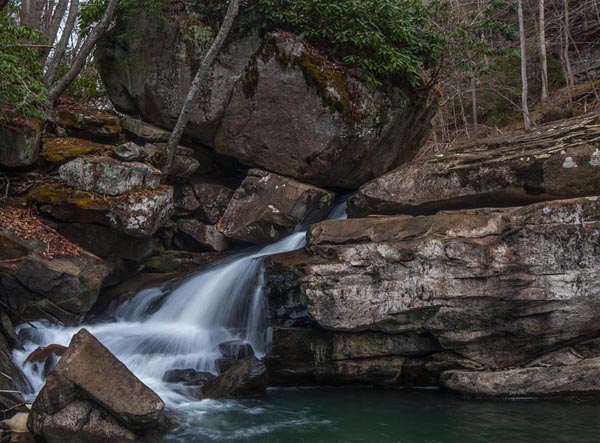
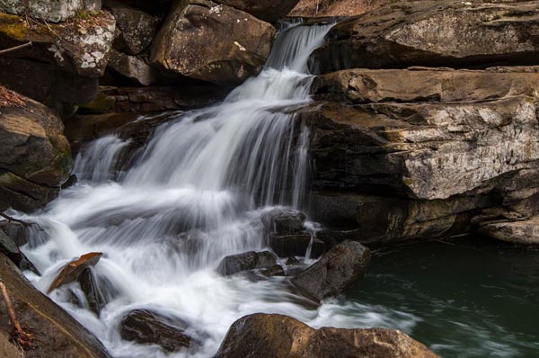
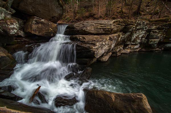
So, further down from Mill Creek Falls, you will see, what I was told was a "powder shed". Aparently explosives were stored her in service of the mining operation. It's a brick structure about 6'x6' and not too tall with a sheet metal roof. This is where the hidden unnamed falls is. The falls might be beside the road, but you can only see it through trees and brush. Access at the falls is dubious at best. It's pretty steep and dangerous from the road side. It seems the best way to get to this falls is by creek walking about 50 yards from a pull off below the falls, which is just below the powder house on your left. It's a pretty big and obvious spot. Room for two cars anyway.
I'm thinking I might name this waterfall PowderhouseFalls if nobody complains. It doesn't seem to have a name. Not that it actually needs one, but for purposes of edification, we will name it thus.
This might not be too easy to creek walk during any kind of high water. We crossed the creek immediately and went up the right side for awhile. There is no clear way, and the creek floor was covered in a thick layer of algae, which made walking treacherous even in reasonable flow.
Westlake Falls on Rich Creek
From the top of the rail trail, venture over into the woods above Westlake Falls and you will find a short access trail to get into the creek. You can shoot both of these falls from the creek level via this access point.
Upper Mill Creek Falls
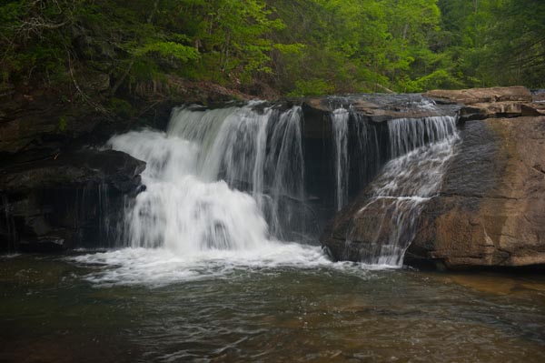
Both falls can be observed from the bridge/trestle at the beginning of the rail trail as well, but they are more photogenic from down in the creek bed.
Mill Creek Falls
38°07'29.3"N 81°06'27.3"W
38.1248, -81.10759
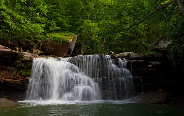
This gorgeous waterfall is the crown jewel of this creek and the whole creek is gorgeous. There is room for one vehicle along the road here and access to the creek is easy enough. While here, don't neglect whats up above this falls.
Powderhouse Falls
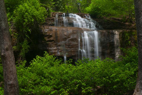
Just down the road, at a place where there's a small shed by the side of the road, you'll find another cool waterfall called Powderhouse Falls. It's not easy to get to, but If I can do it you can. I included several images of this one because I think it's pretty cool falls. Hope you can see it yourself. It looks like this may be a pretty big/wide fall at high water.
Fox Run Falls
(38.119639, -81.110669)
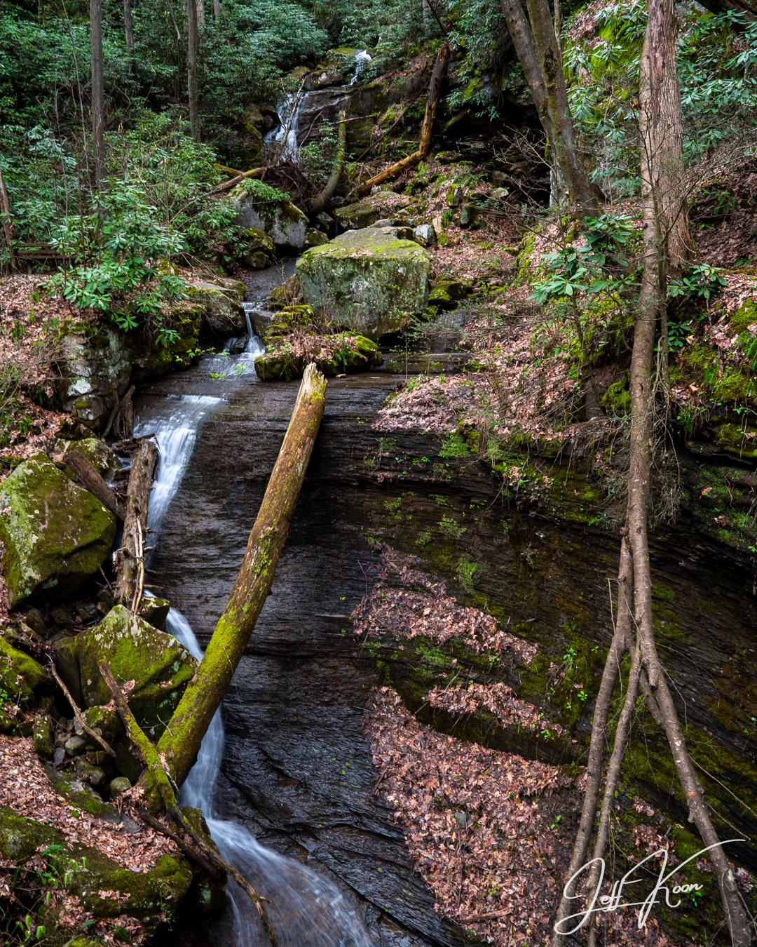
Fox Run is located along the rail trail at a trestle approximately ¾ of the way down. It's a fall that needs rain. It will appear right alongside the trail as you are crossing the trestle. You'll need to be on the rail trail to see this falls. Jeff Koon Photography Photo
Once at the bottom, head down river along the shoreline toward the dam and over to Lower Turkey Creek Falls by walking along the river toward the dam. It's a nice 30' falls. There are a number of others on Turkey Creek referenced in Ed Rehbein and Randall Sanger's book, but they are obviously not accessible from this location unless you are a mountain goat. Follow the link for directions to the access from above and to see two or three more nice falls on this creek.
The rail trail continues down the east side of the creek all the way to the New River and to the tram, which will take you to the top of the cliffs and the lodge. Recently, during the pandemic, there were more than a dozen new manicured campsites with pre-erected safari style canvas tents on platforms installed. Beginning from the lower end of the trail trail and continuing along the fishermans access trail on out to the Hawks Nest Dam and the lower and spectacular falls on Turkey Creek, these sites are available for rent.


