39.41722, -79.6925
39°25'02.0"N 79°41'33.0"W
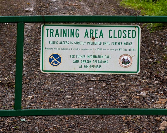
From the intersection of SR 7 and SR 72, southeast of Kingwood, follow SR 72 south for about 4.2 miles. Just before you cross the small bridge at Pringle Run, there is a dirt road going off to the right. It's a pretty steep climb. Park at the bottom of the road and follow it up along the creek about .25 mile and scramble down to see the falls. It is visible from the road, and you can hear it as well. However, due to people messing things up, the property has been gated and there are now No Trespassing signs and warnings of arrest. Maybe if you can contact someone at Camp Dawson, you might be able to gain permission to visit their training grounds and see the waterfall.

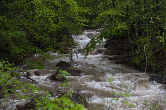
This is a view of the creek from the road.


