37.95885, -81.48386
37°57'31.9"N 81°29'01.9"W
"To find this deceptively unassuming beauty, watch for rail trail signs along WV Route 1, also known as Clear Fork Road. The closest access point to the rail trail allows for an easy walk to the base of the waterfall. Navigating toward the falls, GPS driving directions will take you to the parking area, just adjacent to the Larry Allen “Crocky” Holstein, Jr. Memorial Bridge. Once parked, head to the trail kiosk from the road and turn left to follow the wide gravel path – just under a quarter of a mile upstream. Since there is limited cell service in the area, be sure to download your route ahead of time.
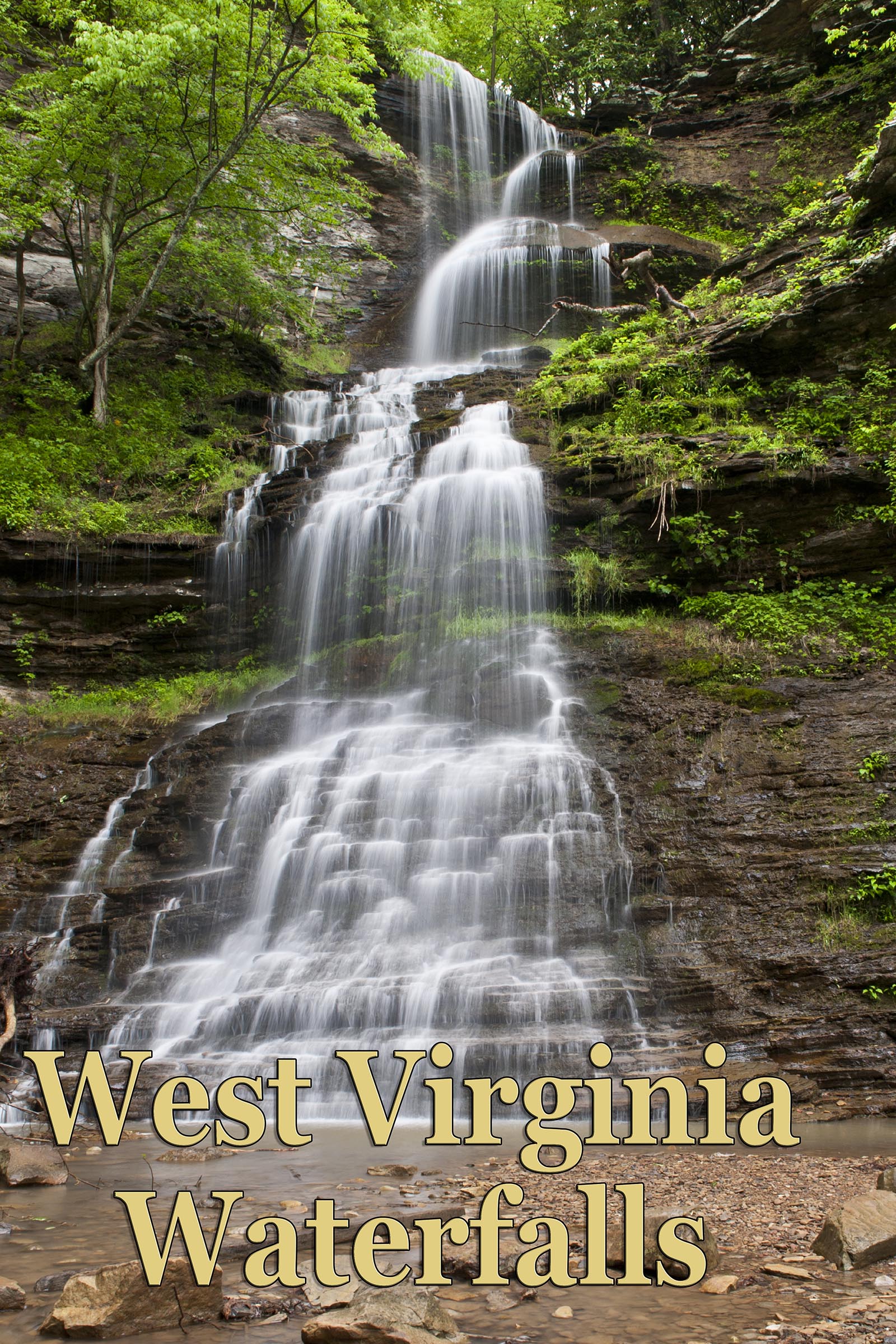
While hikers and cyclists will hear flowing water from the trail, you may not see the full majesty of this waterfall unless you take a moment to peer up into the canopy. From this perspective, you can appreciate the multi-tiered waterfall that extends like stairsteps at least 40 feet up the mountainside into dense forest cover. In spring or after a heavy rain, you will spot multiple smaller falls along this section of the trail."
Courtesy of https://wvtourism.com/company/clear-fork-rail-trail-waterfall/


