38.975377, -79.431924
38°58'31.4"N 79°25'54.9"W
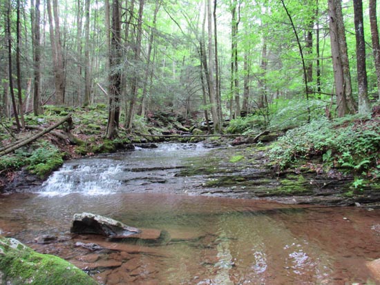
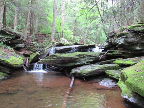
Flatrock Run is a pretty hike. The lower waterfalls aren't spectacular but they are pretty and so is the trail. It's basically an uphill muddy trail. It starts out from the parking area with a 1/4 mile walk to the trailhead, cross the bridge and go up the road to the trailhead which starts out through private property in some grassy fields. There are signs all along the way but you need to keep an eye out.
I found several places worth getting in the creek for photography but there were no magnificent falls along the way. I think we walked about 2.5 miles uphill before determining that it was time to go back. Not sure what's up above but the sign said the trail was 5 miles to the top. I also have seen photos of some nice falls on this run, so they must be further up the hill. I also have noticed that there is another trailhead on (CR 70). From the Dolly Sods Picnic Area on (CR19), follow (CR19) south and turn left onto (CR70). Follow (CR70) for 3.4 miles. After a sharp right switchback, quickly look for the Roaring Plains Trailhead on your left.
Here's a couple of shots from the day.

UPDATE: I found out that if we had walked another mile or so uphill that we would have hit the motherload. Apparently, there are two nice ones up there. Doubt I will have the opportunity to make this hike again, so, I'm out of luck. Make sure you go to the top.


