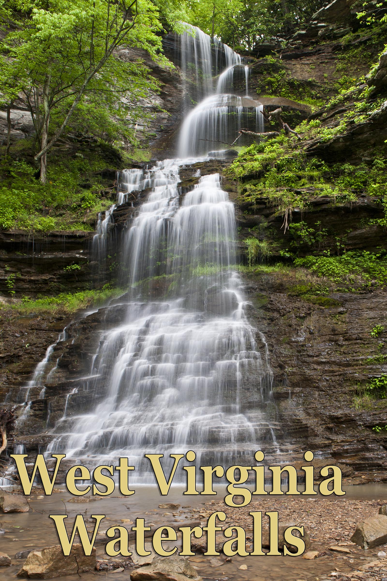
Cane Branch (Upper Cathedral) Falls
Cane Branch is the name of the creek that feeds Cathedral Falls and there is another set of falls way up above Cathedral. Full disclosure - I have not been to this place though I've scouted possible access and I've known that there were other falls up above but have never found them. I have driven to the top by way of Cane Branch Rd, which is east of the parking lot on US 60. However when I got to the top I decided not to venture further because of private property. There are several homes and some farmland up there. The more likely approach is by way of Taylor Hill Rd. which can be accessed by bushwhacking up the hill and across the tracks and then up the hill some more. Park at the Gauley Mountain Public Fishing Access lot on US 60 or there is another much smaller pull of further east. (38°09'25.1"N 81°11'05.4"W/38.156972, -81.184833) At any rate, I don't think you will want to try climbing the hill right at the Cathedral lot. It looks very dangerous.
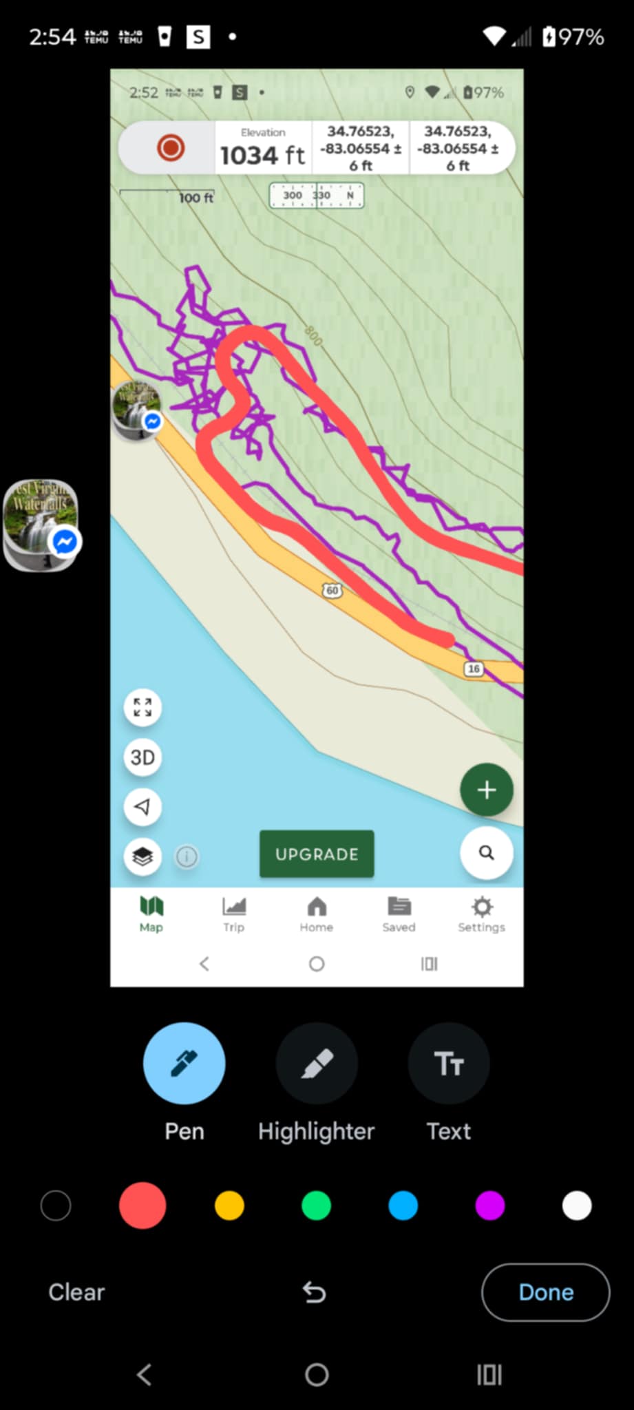
So park in the gravel lot, or in the roadside pull off at (38°09'15.6"N 81°10'55.9"W//38.154333, -81.182194) cross the road, bushwhack up the hill, then cross the tracks and continue your bushwhack up the hill. You'll come to an overgrown and barely navigable area. Go east (to the right) and follow the road to the top of the hill. Sephanie Leigh provided me with most of this information. She also provided her GPS route, which may or may not be of any help to you. It helped me a bit because it gave me the elevation of the trail. If you are any good with online mapping you will see a narrow basically flat area at the base of the second rise of the hill. It's approximately at the 840' elevation level on Google Earth map. I haven't done this so I am not the expert here, But I have researched it and talked to those who have been, so I'm fairly confident in posting these directions. Make sure and compare the directions on Google Earth so you can have some better frame of reference.
Here is some comentary from Stephanie Leigh and her GPS track below.
"I think any directions you post need to be with caution because it can be dangerous. So basically we parked in a gravel lot to the left if you are coming from cathedral past the parking lot for cathedral . Walked the RR tracks for maybe .1 or .2 mile looking at the least overgrown section up the hill. May not be so bad outside of summer lol. Once you get up the hill you need to make a left up the old logging road, it curves around up the hill and to the right. Then you follow that until you can tell you are close to the top of Cathedral.. Look for a way down the steep hill. Once you get to the creek, you can see it (the falls) to the left and upstream. There are places on the hike that if you slip you are a goner and going down the hill to the creek, It's very slick and sketchy and one wrong move or slip could turn bad. Also when you get to the creek you are at the top of Cathedral. I'm a very experienced bushwhacker and hiker and that spot had me nervous. The creek is also slick and death is not far away. So someone really needs to be careful and really needs to know what they are doing also. That road is so overgrown you are not getting an atv or anything up it and lots of poison ivy and oak! People def need to understand there is no technical "trail" there and doing this is potentially very dangerous. I don't want to hear any stories of anyone going over the falls!"
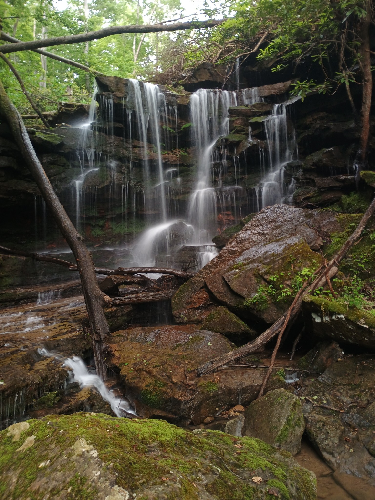
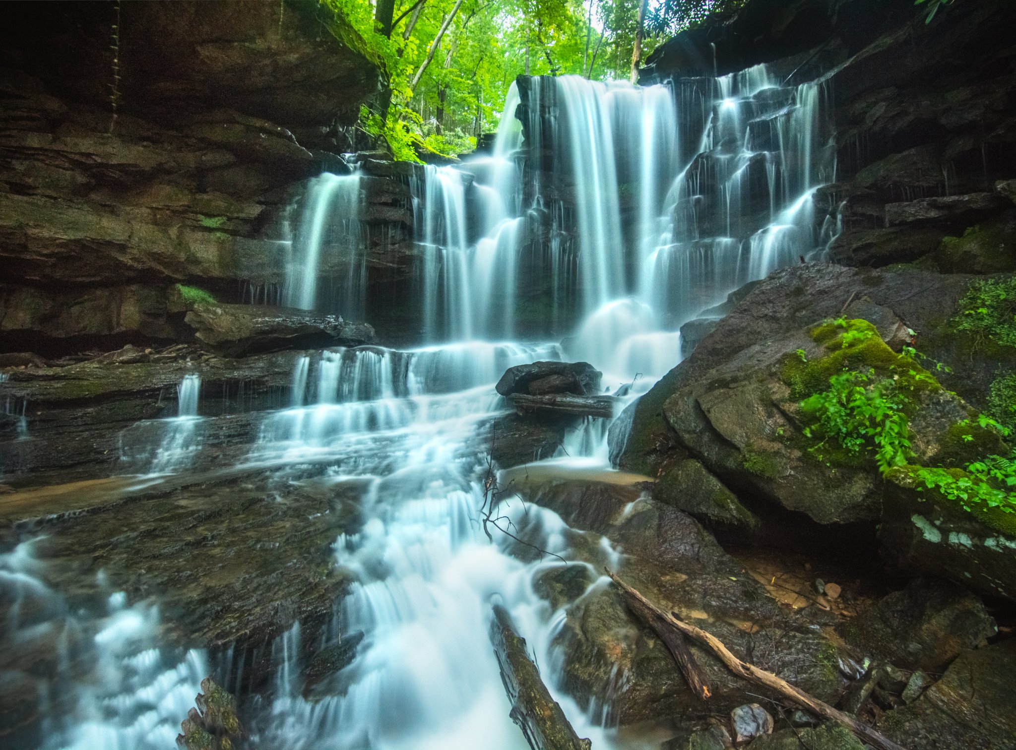
Photos are courtesy of Stephanie Leight (top) anad Mark Oleg Ozboyd (bottom)
The following are comments from Stephanie Leigh and Glen Benton as posted in West Virginia Waterfalls Group on Faccebook.
"It's up above it but you gotta bushwhack up a hill by the tracks and carefully follow an old logging road there where you end up at the top of Cathedral and you'll be right below the upper falls. It's very sketchy!" - Leigh
"Standing at the top of Cathedral was definitely a pucker factor, I hate to admit, but it was all worth seeing the beauty of the upper![]() it is worth it, if you can make it!" - Benton
it is worth it, if you can make it!" - Benton