39°39'30.2"N 79°49'28.8"W
39.658378, -79.824653
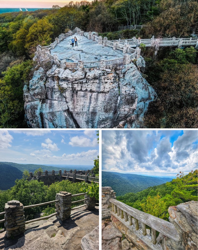
In Coopers Rock State Park you find Quarry Run. Don't skip the Coopers Rock overlook while there.
It's kinda hard to get to and you may want to bring a rope to actually get into the creek. Park at the Clay Furnace Trailhead Parking Lot. Don't go down the main Clay Furnace Trail. Instead there's another trail that's on the opposite side of the road loop. It's about 0.5mi toward I-68. There was a gate. Follow it till it ends where Quarry Run crosses the interstate. Then bush whack downstream about 0.3 mi and that's where to find the waterfall. The 0.3 mi downstream isn't too bad. You're following some kind of old, overgrown logging/service road that follows the creek. The only tricky part is scrambling down the bank through rhododendrons at the end to see the waterfall up close.
Directions courtesy of Eric Harshbarger on FB WV Waterfalls Group
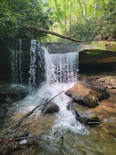
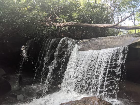
Quarry Run Falls
Top image by Michelle Jordan. Bottom Image by Eric Harshbarger. Thank you.
